The Aerial Horizon
Forget where your feet are and simply enjoy the view.
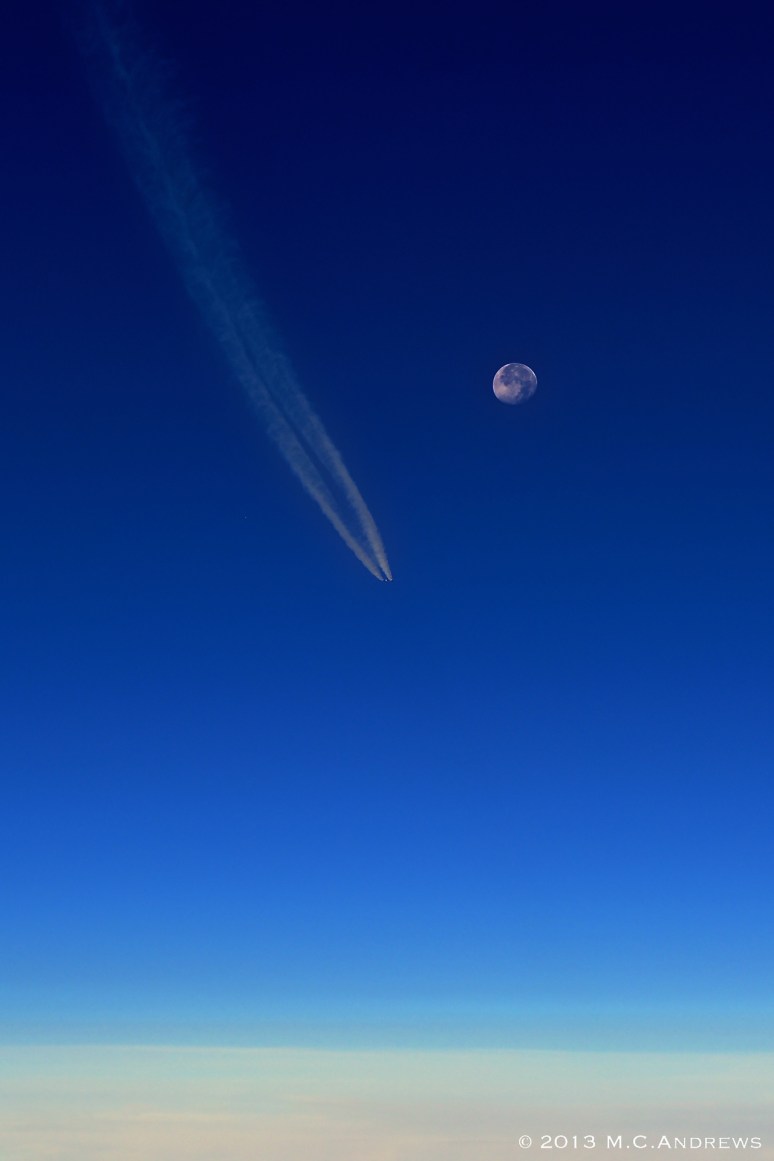
Even in the morning sunlight, the “super moon” dominates our view of the sky. On our journey south, we cross paths with another jet and watch him chase the moon as he continues on his westward course.
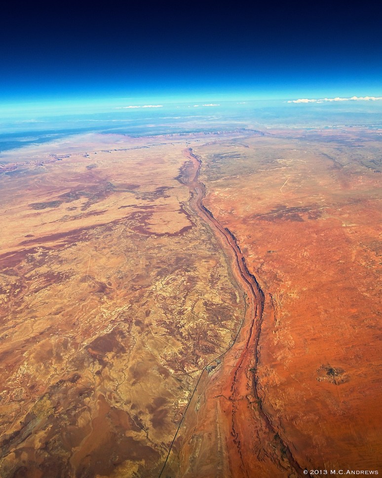
Flying over Tuba City, Arizona, highway 89 echoes the ridge line and meanders toward the horizon. As our view follows this pathway to the horizon, we see the colored walls that signal the spectacular views that await beyond the horizon.
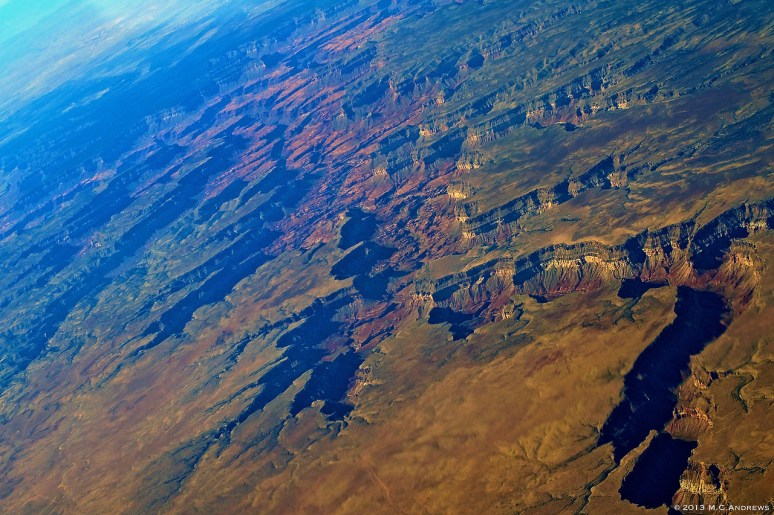
A clear day over the Grand Canyon makes for a memorable day whether you are 5 years old or 50 years old. It brings out the best of our sense of wonder.

West of the Grand Canyon, a Southwest 737 crosses below our path. At approximately 800 knots of closure rate, the jet appears and disappears in the blink of an eye. TCAS and observant air traffic controllers increase our situational awareness and make for a safe operation.
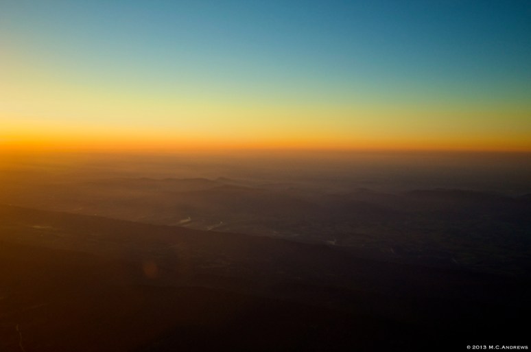
The sun rises and pushes away the shadows. The Shenandoah River emerges as we cross the Blue Ridge and over the Valley. Rileyville, Virginia lies below and slowly awakens as the shadows recede. This is the reward for flying all night.
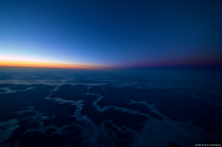
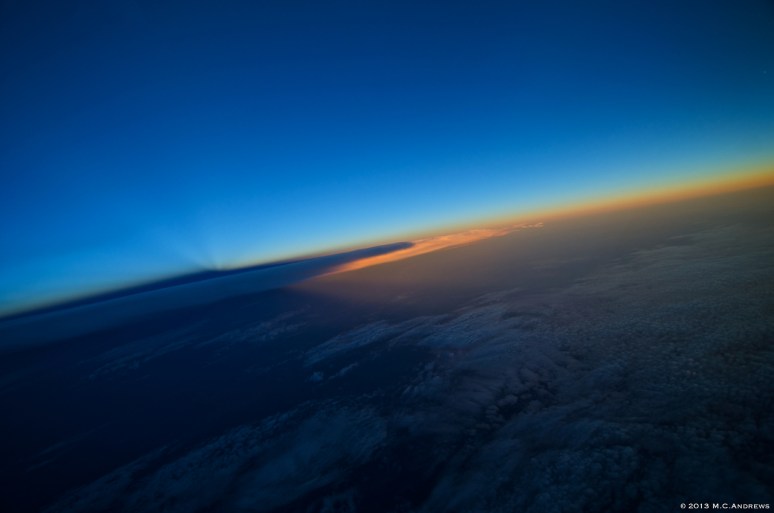
Dawn’s terminator over the mountains of West Virginia. As we break away from the bore sight of sunrise, we see the terminator as the sun rises and the earth’s shadow recedes. The fog and clouds hanging in the valleys and along the rivers add a another dimension to the scene.
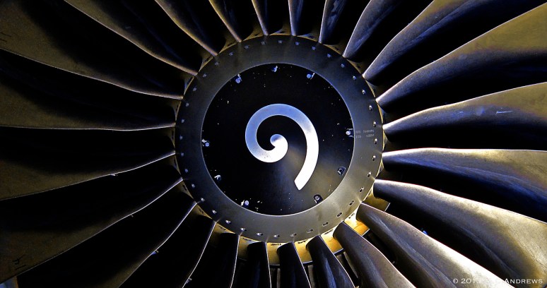
Starting lines. Early morning sunlight on rotors. Warm metal and cool air. Reflected light on spinning bass clefs. This is how it starts. Ready for flight.

Some airports are so well situated that they call to the curious, “Drop in here and have a look around.” The Big Bear City Airport is one such place nestled into the San Bernardino Mountains east of Los Angeles. Sitting at the end of Big Bear Lake at an elevation of 6725’ (and a 4 degree glide path on the approach) it would be a beautiful place to drop in.

As Summer approaches, storms grow more prevalent. They seem most dramatic as the grow over the western states. Here in west Texas, near El Paso, a storm forms, shadows darken the oil fields, showers fall, and light penetrates the verga creating a rainbow beneath the edge of the storm.

Looking toward the Grand Canyon from the west, the landscape is like that of another world. Even the flat earth beyond the canyon walls echoes the texture and detail of its timeworn crevices.
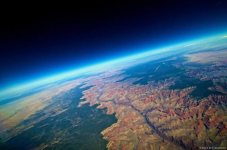
There is one site that tops all others. Every time that we see the Grand Canyon, it fills us with the joy and excitement of a child seeing it for the first time. Its colorful faces and irregular terrain express a vastness that is almost incomprehensible. Flying over the southern portion of the Canyon directly over Grand Canyon (GCN) Airport.
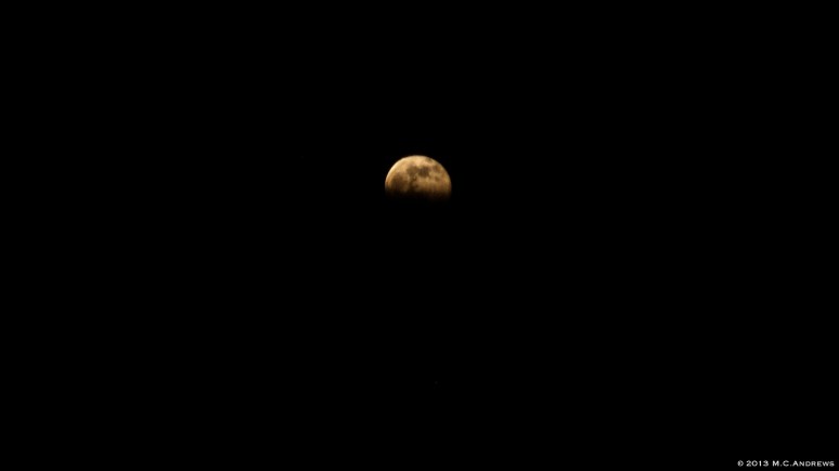
Full moon rising out of the shadow of the earth. From the air, this begins as faint glowing line that gradually expands into an amorphous light on the horizon. Then, as the moon emerges from the shadow, it takes shape and sharpens. Within moments the moon rises completely and lights the night sky.

The Light Between Storms. Technology makes it possible for us to identify the most intense precipitation, hail, lightening, and windsheer and to avoid these hazards. As we avoid the weather and thread our way between storms we see scenes through our cockpit windows that are unimaginable on the ground…All created by energy, water vapor and light. (Rainbow over the Florida Everglades pictured)

Descending into Miami at sunset. The artwork leaves us speechless and in awe of the myriad forces that create our view of the world. Low clouds building up while the tumult of upper air disturbances provides a canvas for the sunset.

Topping the storm. Technology can take a little of the guess work out of avoiding the weather and make for a safer operation. Often we are inundated with data, but with good design and presentation we can seamlessly respond to the information as it appears.

As we emerge from the clouds and leave the morning showers behind us, we see Mount Rainier floating above the horizon. The dreamy vision of her rising above the clouds is majestic as if it were the setting for a Greek myth.

As we take our final look at Idaho, Coeur d’Alene sits at the head of the Lake by the same name. Following the river to the west leads us to Spokane, Washington.

Convergence. The sun sets on Los Angeles as the marine layer rolls in. The weather is clearly in control of the flow…people, planes and city traffic all bow to the effects of the clouds’ ebb and flow. A photo cannot do justice to the beautiful golden glow of LA’s downtown as we cruise in with the sunset on our backs.

Mt San Gorgonio and San Bernardino National Forest mark the end of our journey across the Mojave as the earthy brown tones of the desert give way to the green of the tree line.
And something remarkable happens…Flying out of the sunset and into twilight while also flying around the blow-off of a storm over the Mississippi River…the cloud top crosses the earth’s terminator and the portion still in sunlight casts a shadow upward on the sky. The celestial shadows turn our normal view of the world upside-down.
The Aerial Horizon – Photography

